
Fayetteville Neighbor Record Sources
No official source is a complete list of people around a Fayetteville address. The useful block picture is built from land, civic, and dated registration records. Fayetteville GIS fixes the spatial question: which lots adjoin, face, or sit behind one address. The Assessor connects those parcels to owners and mailing addresses. Voter records may add named registrants through lawful channels, while neighborhood organizations add public contacts rather than member rosters.
| Block source | What it can establish | Fayetteville access |
|---|---|---|
| General Reference GIS | Parcel edges, addresses, facing and adjoining lots | Free city map and data tools |
| Washington County property roll | Owner, mailing versus situs, parcel, and legal description | Public DataScout search; Assessor help |
| Public Notification layers | Owner, occupant-address, residential-occupant, and all-address labels | Official ArcGIS service; mailing-list tool |
| County voter list | Dated registered voter, address, ZIP, and precinct fields | Lawful Clerk or Election Commission request |
| Neighborhood organizations | Recognized civic group and public officer or contact channel | My Fayetteville Services and city program |
| Historical directories | Past listed residents or subscribers by address | Fayetteville Public Library and Shiloh Museum |
An owner's mailing address matching the situs can support an owner-occupancy inference, but it does not name the rest of the household. A different mailing address may suggest an absent owner. The city's “occupant” GIS label is an address category used for notices, not an enumerated resident. Keep each finding tied to its source and retrieval date.
Fayetteville's Adjacent Parcel Tool
The most specific local method comes from the Fayetteville GIS map catalog. General Reference and Data Downloads provides streets, address points, parcels, aerials, zoning, flood data, wards, utilities, city limits, permits, and neighborhood organizations. Search one address, zoom until lot lines and street labels are clear, then select each parcel that touches, faces, or sits behind the starting lot.
Fayetteville updated its mailing-list instructions on March 9, 2026. The Public Notification service separates Property Owner, Property Occupant, Residential Occupant, and All Addresses Including Non-Deliverable. The open-letter or envelope icon launches the mailing-list dialog. The service can return up to 2,000 records. Those layers support required public notices and careful block research, but an occupant label is not a named roster.
Save the parcel identifier before leaving the map. City layers are planning and reference data gathered from several sources, not a survey. Confirm owner and legal-description details in the Washington County Assessor's roll.
Map Fayetteville Neighbors by Parcel
A block lookup needs a consistent boundary. Begin with the immediately adjoining lots, then add parcels across the street and corner lots whose side yards face the address. Rear adjacency is easy to miss on irregular Fayetteville parcels. Build the parcel list before opening owner cards so the result reflects geography rather than whichever names appeared first.
- Verify the starting address in My Fayetteville Services. Confirm city-limit and neighborhood information before opening the parcel map.
- Select the starting parcel in General Reference. Copy its parcel number, then note every side, rear, facing, and corner parcel.
- Open each parcel in the Washington County property roll. Record owner, mailing address, situs, legal description, and homestead evidence separately.
- Mark ownership as distinct from occupancy. Do not add unnamed household members or infer that a mailing recipient lives at the situs.
- For all parcels along a named road, switch to the Fayetteville street directory workflow instead of expanding the block without limit.
The result should be a small evidence table with one row per parcel, not a narrative claim about everyone nearby. Include the source date. A recent deed or changed parcel split can make a cached map and current tax card disagree.
Find Fayetteville Civic Neighbors
Fayetteville neighborhood organizations are voluntary civic groups that may include owners, renters, apartment residents, businesses, schools, churches, and nonprofits. They differ from compulsory property-owner associations created by covenants and funded by dues. My Fayetteville Services identifies the recognized organization associated with an address.
Adopted plans add a dated civic layer without naming households. Walker Park's plan dates to February 2008, while the Wedington Corridor and Fayette Junction plans date to spring 2009. Fayetteville's preservation material also maps more than 350 structures across 11 National Register districts. These records explain how a block developed, but they do not prove who lives there.
My Fayetteville Services
Search one address for city limits, ward, services, schools, zoning, flood data, and neighborhood organization.
Neighborhood Program
Use the city's public organization page for recognition details and published contact channels.
Planning Context
Adopted plans include Walker Park, Wedington Corridor, and Fayette Junction and can explain a block's civic geography.
The city does not promise a public member roster. A public officer or contact address belongs to a civic role and should not be presented as a directory of residents. This layer helps someone contact a neighborhood group, learn about meetings, or understand local planning, not identify each household.
Fayetteville Neighbors and Voter Lists
Arkansas VoterView verifies one voter from first name, last name, date of birth, and county. It is not designed for block enumeration. Repeatedly probing it cannot build a sound block list, and a no-match result does not prove that someone moved or is unregistered.
A legitimate block-level need goes through the Washington County Clerk or Election Commission. Ark. Code Ann. § 7-5-109 requires computerized county lists to include at least names, addresses, and precinct numbers while excluding secure-voter addresses. Statewide files can also include voter ID, residential or mailing address, phone, date of birth, precinct, districts, and date last voted, subject to protected-field rules. Arkansas does not register voters by party, and participation history never reveals a ballot choice.
Specify the street, precinct, ZIP, fields, format, and as-of date. Treat the extract as one dated civic record. It omits nonvoters, suppresses secure addresses, and does not list every member of a household.
Compare Fayetteville Neighbor Sources
Commercial neighbor tools merge public and commercial data. They can be stale, combine two people, or attach an old address to the wrong household. Official sources are narrower but show their custodian, record purpose, and date. Use the category as a lead only, never as proof.
| Source type | Strength | Key limit |
|---|---|---|
| Official parcel and GIS | Current land identity and block geometry | Owners and addresses, not full households |
| Official voter extract | Dated registration and precinct evidence | Not a census; secure addresses removed |
| Neighborhood organization | Public civic contact and local context | No promised member directory |
| Commercial compilation | Broad lead gathering | Unknown refresh cycle and identity-merging risk |
Correct an error with the record custodian first. A commercial removal request does not alter the Assessor, clerk, or city data that fed it, and Arkansas does not provide a universal data-broker deletion button.
Request Fayetteville Block Records
When a city record is not indexed, Fayetteville accepts requests through its JustFOIA portal. The portal supports new requests, tracking, and archived-request searching. Arkansas Freedom of Information Act requests should identify the record type, address or block, date range, and preferred format rather than ask staff to research who lives nearby.
The city request interface provides the documented fallback:
Inspection of available city records is generally during business hours. Copy charges may reflect actual reproduction cost, while specially compiled electronic data can involve qualified staff time beyond two hours when the custodian agrees to create it. Exempt or confidential portions remain withheld, and segregable public portions should be produced.
Police records follow a separate Fayetteville Police request process for releasable reports and recordings:
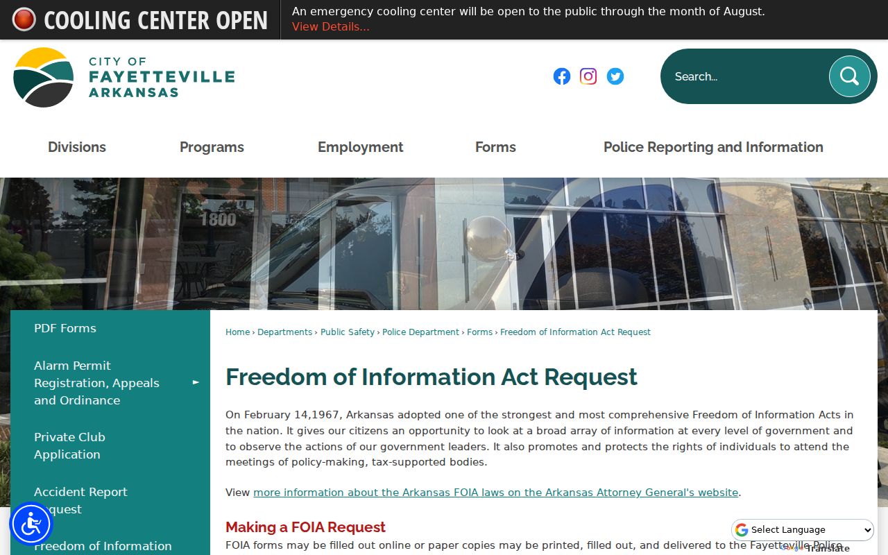
Open investigations, pending matters, juvenile information, and other protected content may be withheld. A police report documents an incident and named roles; it does not create a general neighbor roster or prove guilt.
Fayetteville Neighbor Privacy Limits
Parcel GIS does not supply renter names, full households, utility customers, delivery data, or DMV addresses. Vital certificates are restricted. Juvenile, adoption, sealed, and protected court records stay limited. Arkansas secure-voter law under §§ 7-5-109 and 7-5-112 removes qualifying domestic-violence victims' addresses from voter lists. That protection is targeted, not a universal substitute-address system across all public files.
Respecting those boundaries is part of an accurate lookup. A blank field may mean the record type never collected the fact, the portal does not publish it, or law requires suppression. It is not an invitation to guess. Public status in one source does not remove protection in another.
Lawful use. Fayetteville neighbor research supports civic contact, block history, reconnection, and personal safety awareness. Never use records to watch, stalk, harass, threaten, or harm another person.
If a record creates an immediate safety concern, rely on current official channels rather than approaching someone based on an index entry. Fayetteville Police nonemergency service is 479-587-3555, and emergencies go to 911.